Initial Analysis of Potential Flight Traffic
Initial Analysis of Potential Flight Traffic

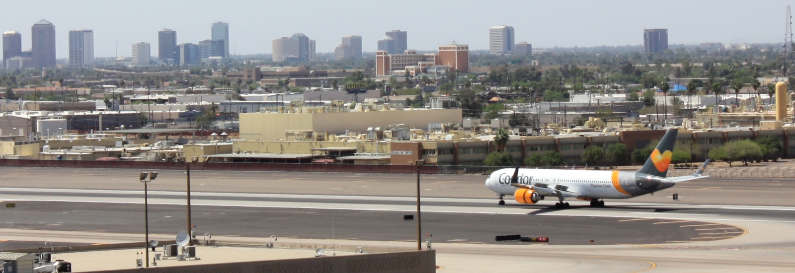
The proposed entertainment district would be approximately 9,800 feet straight east of Sky Harbor’s two south runways.

The two runways account for 68% of the flight activity at Sky Harbor and 95% of the departures. The blue lines are generated by software showing actual flights and show the path of departing aircraft directly over the proposed site. Flights would depart or arrive over this location every day, every hour, and during the busiest times every minute. Sky Harbor has about 1,200 takeoffs and landings each day.


Chase Field and other nearby developments west of Sky Harbor are not under the flight paths. The newest development (commonly referred to as The Blue or the OIC Building) was permitted only after careful consultation with the airlines. It was determined not to result in negative impacts to air traffic. None of these developments are in a high noise environment as defined by the FAA in contrast with the proposed Tempe Development.